A HISTORIC map of the town centre is now available to view on the Better Bromsgrove website.
It provides a fun, interactive way to look up the history of the High Street and surrounding areas.
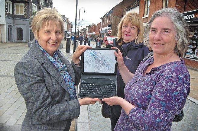
The document, from an 1880s Ordnance Survey, has been digitised and key buildings highlighted. People clicking buildings on the map can see details of what the buildings are now and what they were.
There are also spoken history clips available to complement the map, which was created as part of a partnership between Bromsgrove District Council and Worcestershire County Council, representatives from Avoncroft Musem, the Victorian Society, the Bromsgrove Society, Artrix, Bromsgrove Library, the Housman Society and Bromsgrove School.
Coun Rita Dent, whose portfolio covers the High Street, said it provided a fantastic way of showcasing the town centre’s past and really brought history to life. Derek Hurst, Worcestershire Archive and Archaeology Service project manager, added it was ‘a brilliant tool’ for schools, historians or those generally interested in Bromsgrove’s history.
Visit www.betterbromsgrove.com/living-in-bromsgrove/culture-and-heritage/bromsgrove-heritage-map to see the map or https://www.facebook.com/BromsgrovePastPresent/posts/677583868957988 for the oral history of Bromsgrove people and places.